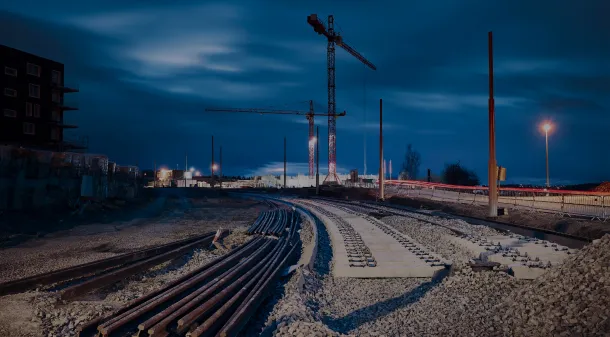
Rail Infrastructure Monitoring
The Solution
SightNav Team introduced a groundbreaking solution utilizing advanced drone technology and 3D modeling. Our drones captured high-resolution aerial imagery, which was then processed into detailed 3D models and analyzed through our proprietary analytics platform. This provided PKP PLK with real-time insights into project progress, terrain changes, and potential issues.
Streamlined Monitoring
SightNav Team's solution significantly accelerated PKP PLK's infrastructure monitoring. Real-time data access enabled project managers to make informed decisions quickly, optimizing timelines and efficiency.
Enhanced Accuracy
High-resolution 3D models provided PKP PLK with unprecedented accuracy for assessing construction progress, identifying potential bottlenecks, and verifying contractor work.
Significant Cost Savings
By replacing helicopter surveys with drones, PKP PLK drastically reduced their data acquisition costs, achieving substantial financial savings
